


Hiking Trails in Oro Valley, Arizona
Oro Valley is a wonderful place for hikers, with wonderful weather and many paths surrounding the area for people seeking fully maintained or more rustic trails. Some Oro Valley paths connect to Pima County’s The Loop system, which provides over 100 miles of connected multi-use paths for anyone not using a motor. The rest of the town’s 54 miles of trails are largely dirt, some cultivated and some more primitive.
Oro Valley Hiking Trails
Oro Valley Parks and Recreation provides an interactive trail map for hikers seeking the perfect trail for their hike.
Oro Valley Parks & Recreation Department (520) 229-5050
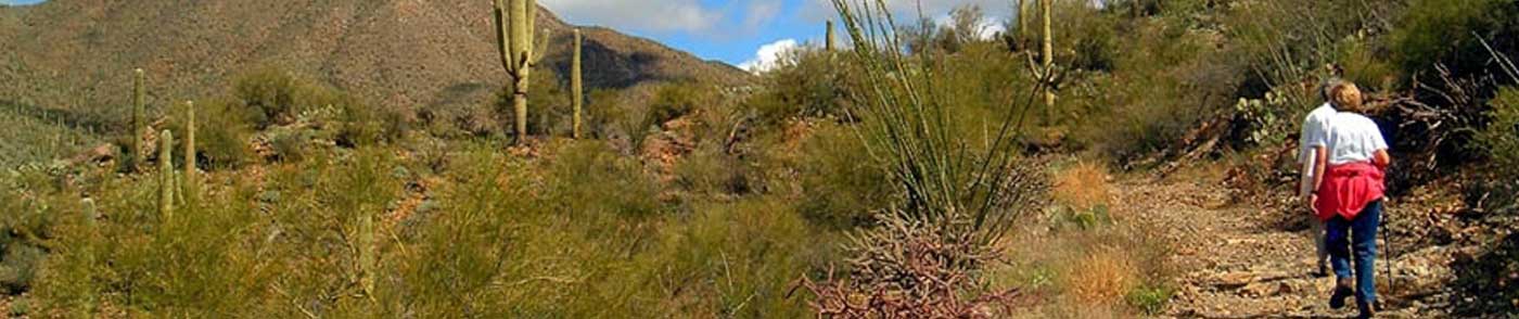
Saguaro National Park West
“Saguaro National Park’s two districts offer more than 165 miles (264 km) of hiking trails. A hike at Saguaro National Park can be a stroll on a short interpretive nature trail or a day-long wilderness trek. Both districts of Saguaro National Park offer a variety of hiking trails.” (nps.gov)
Click on TRAIL BROCHURE provided by the National Park Service to read about each trail and view a keyed map of the area.
Catalina State Park
Catalina State Park borders Oro Valley, but once visitors are inside it feels like the city is miles away. Hiking, equestrian facilities, bird watching, and overnight camping make it a versatile choice, all surrounded by stunning views of the Santa Catalina Mountains. The altitude reaches 3,000 feet, and with 5,500 acres to explore, it is an unexpected oasis right in Oro Valley’s backyard.
Click on TRAIL BROCHURE for more information about hiking in Catalina State Park.